
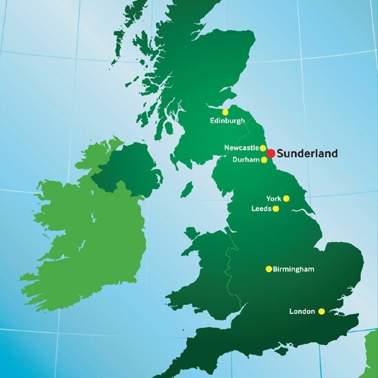
Sunderland is situated on England's North East coast and is the largest city between Leeds and Edinburgh.
Sunderland is easily accessible from the A1, the main north-south route along the eastern UK, and from the A19. The cities of Durham and Newcastle are within very easy reach by road and by public transport, 12 and 20 miles away respectively.
The light-rail Tyne and Wear Metro service is an easy means of getting around the Sunderland city region, as well as offering a 30-minute direct link into Newcastle city centre.
There are international airports at Newcastle and Durham Tees Valley, served by amongst others British Airways and low fare airlines such as Easyjet and Ryan Air. Ferry links from Tyneside include routes to Scandinavia and Northern Europe.
See maps of Sunderland.
Useful Links
| RAIL | National Rail Enquiries |
| SEA | DFD Seaways |
| Fjordline | |
| AIR | Newcastle Airport |
| Durham Tees Valley Airport | |
| ROAD | National Express |
| METRO | Nexus Metro |

- events & festivals
- museums & galleries
- theatre & music
- the great outdoors
- sport & leisure
- history & heritage
- words
- community events